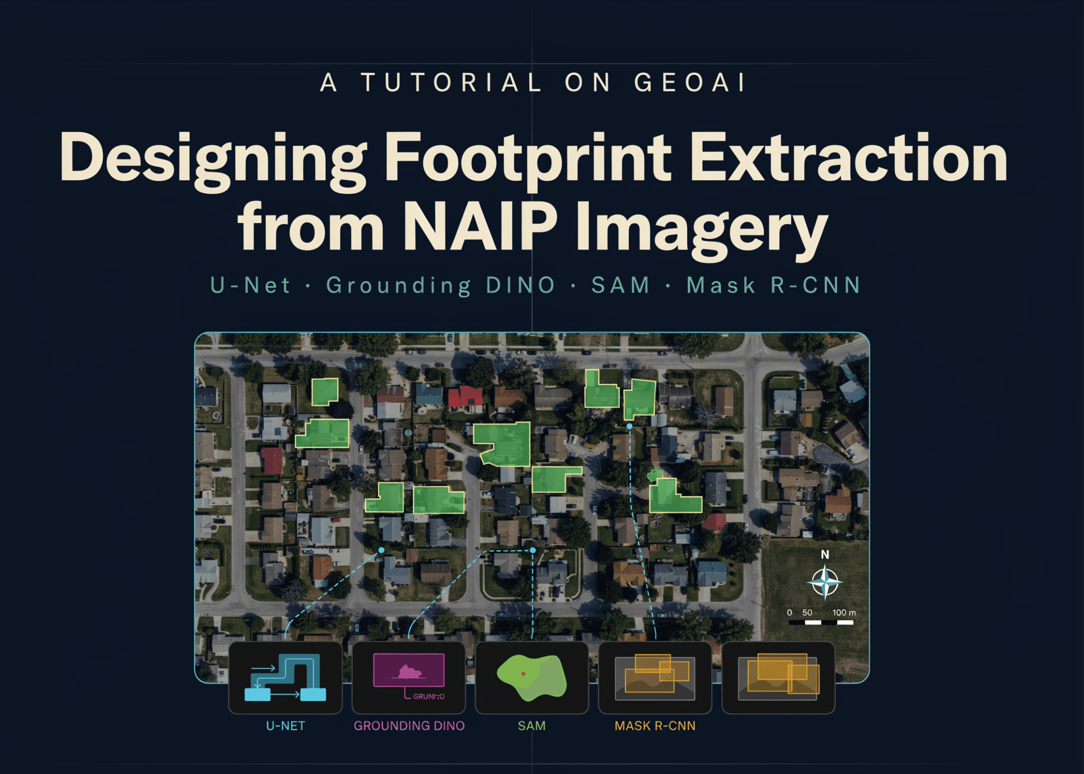
Modelverse is excited to highlight a comprehensive new GeoAI tutorial that unveils an end-to-end workflow for extracting building footprints from high-resolution NAIP aerial imagery. This guide meticulously details the process of transforming raw satellite data into structured, analysis-ready vector polygons, leveraging a powerful combination of deep learning models including U-Net for semantic segmentation, and the cutting-edge zero-shot capabilities of Grounding DINO and SAM, alongside a pretrained Mask R-CNN for instance segmentation.
The methodology encompasses every critical stage, starting with the meticulous preparation of geospatial data, including environment configuration, downloading imagery and labels, and generating georeferenced image chips and segmentation masks. It then progresses to training a U-Net model with a ResNet-34 encoder, performing sliding-window inference on unseen areas, and converting predicted masks into cleaned, regularized building polygons. The tutorial further explores advanced techniques like zero-shot segmentation using text prompts and compares these results with a pretrained Mask R-CNN, demonstrating how to integrate real-world data from Microsoft Planetary Computer and Overture Maps.
This tutorial is an invaluable resource for developers and researchers in the GeoAI domain. It not only provides a practical blueprint for automated building footprint extraction but also offers a crucial comparative analysis of different deep learning paradigms—from custom-trained semantic segmentation to prompt-based zero-shot and off-the-shelf instance segmentation. By showcasing these diverse approaches and their trade-offs, the guide empowers the community to build robust geospatial AI solutions, adaptable for tasks ranging from land-cover mapping and infrastructure detection to change analysis and large-scale GeoAI applications.